


Superior occupies a fundamentally different property environment from most Wisconsin communities because commercial, industrial and residential real estate can sit within the Wisconsin half of the Duluth-Superior Harbor, where Lake Superior waterfront, industrial facilities, warehouses, rail infrastructure, loading areas, highways and marine transportation operate within one interconnected economic landscape.
Unlike Wisconsin markets where commercial property photography can concentrate primarily on architecture, storefront visibility or conventional office and warehouse space, Superior may require decision-makers to understand how a building functions within a much larger transportation and industrial system. The Port of Duluth-Superior is North America’s farthest-inland freshwater seaport and the Great Lakes’ all-time tonnage leader, with port authorities describing more than 35 million tons of annual cargo moving through a multimodal network connecting marine shipping, Class I rail and highway transportation.
Marketing Superior property therefore requires determining whether the asset’s strongest story comes from building architecture, industrial functionality, site scale, loading and circulation, Lake Superior geography, harbor relationships, transportation access, investment potential—or a combination of those characteristics.
…………………………………………………………………
Conventional commercial photography can document offices, warehouse interiors and exterior elevations while failing to explain how a Superior property actually operates as a commercial or industrial asset.
For a warehouse or industrial facility, decision-makers may need to understand building footprint, loading areas, truck circulation, outdoor storage, parking, rail relationships, access points and surrounding industrial development. Harbor-area assets introduce additional geographic questions involving waterfront position, nearby marine infrastructure and transportation corridors. Multifamily and larger residential properties require a different approach centered on architecture, interiors, property condition, neighborhood context and Lake Superior relationships where genuinely relevant.
A Superior-specific approach combines professional architectural photography with FAA Part 107 aerial perspectives where appropriate, FPV walkthroughs, Matterport 3D Tours, floor plans, cinematic property films and site-context imagery. Together, these assets can explain not merely what a building looks like, but how its architecture, land, access and surrounding infrastructure contribute to its commercial, industrial, investment or residential function.
…………………………………………………………………
Every Superior property receives a visual strategy designed around its actual relationship with building function, site configuration, Duluth-Superior Harbor geography, Lake Superior, transportation infrastructure and Northern Wisconsin positioning rather than a generic commercial-property template.
✔ 20–200 professionally edited images can document complete building exteriors, offices, warehouse interiors, production areas, common spaces, multifamily interiors and architectural features according to the individual property type.
✔ Industrial architectural photography can emphasize building footprint, clear interior spaces, structural characteristics, loading infrastructure, utility areas and operational features that matter to prospective tenants, buyers, investors and corporate decision-makers.
✔ Warehouse photography can document interior scale, loading areas, dock configurations, drive-in access, storage environments and circulation while maintaining accurate visual relationships between operational spaces.
✔ 6–60 FAA Part 107 aerial photographs where appropriate can establish building footprint, parcel configuration, access points, parking, loading areas, outdoor storage, surrounding infrastructure and broader industrial context where airspace, flight conditions and regulations permit.
✔ Site-scale aerial mapping and elevated context imagery can make large commercial and industrial properties easier to interpret by showing how buildings, yards, roads, parking and operational areas function together.
✔ Duluth-Superior Harbor context can be incorporated where geographically relevant, helping commercial decision-makers understand a property’s actual relationship with the harbor without implying direct waterfront or port access where none exists.
✔ Lake Superior context photography can establish meaningful geographic, waterfront or visual relationships where actually present while distinguishing general regional positioning from direct lake frontage.
✔ Waterfront-property photography where applicable can document shoreline orientation, marine-facing architecture, water relationships and site configuration from perspectives that ground-level imagery alone may not communicate.
✔ Transportation-corridor imagery can establish relevant relationships with highways, industrial roads, rail infrastructure and surrounding freight networks without making unsupported claims about direct rail or specialized transportation access.
✔ Site-access photography can document entrances, driveways, gates, truck approaches, employee access and other circulation points that influence how a commercial or industrial property physically operates.
✔ Loading-area photography can give docks, loading aprons, drive-in doors, maneuvering areas and related infrastructure dedicated coverage where present rather than treating them as secondary exterior details.
✔ Truck-circulation storytelling can use ground and aerial perspectives to help viewers interpret how larger vehicles enter, move through and exit appropriate industrial sites where circulation is an important property feature.
✔ Outdoor-storage and yard photography can document fenced areas, paved or improved surfaces, equipment zones and open operational space where these features materially contribute to the asset.
✔ Rail-corridor context can be incorporated where relevant to show surrounding transportation geography while carefully distinguishing proximity from actual rail-served property access.
✔ Commercial-building photography can emphasize storefronts, entrances, signage opportunities, tenant spaces, common areas, parking and customer circulation according to the building’s actual use.
✔ Investment-property photography can combine architecture, condition, site configuration and surrounding context to give remote investors a clearer visual understanding of the physical asset before an in-person inspection.
✔ Multifamily photography can document building exteriors, representative interiors, common areas, amenities, parking and surrounding context while aerial imagery where appropriate establishes property scale and neighborhood relationships.
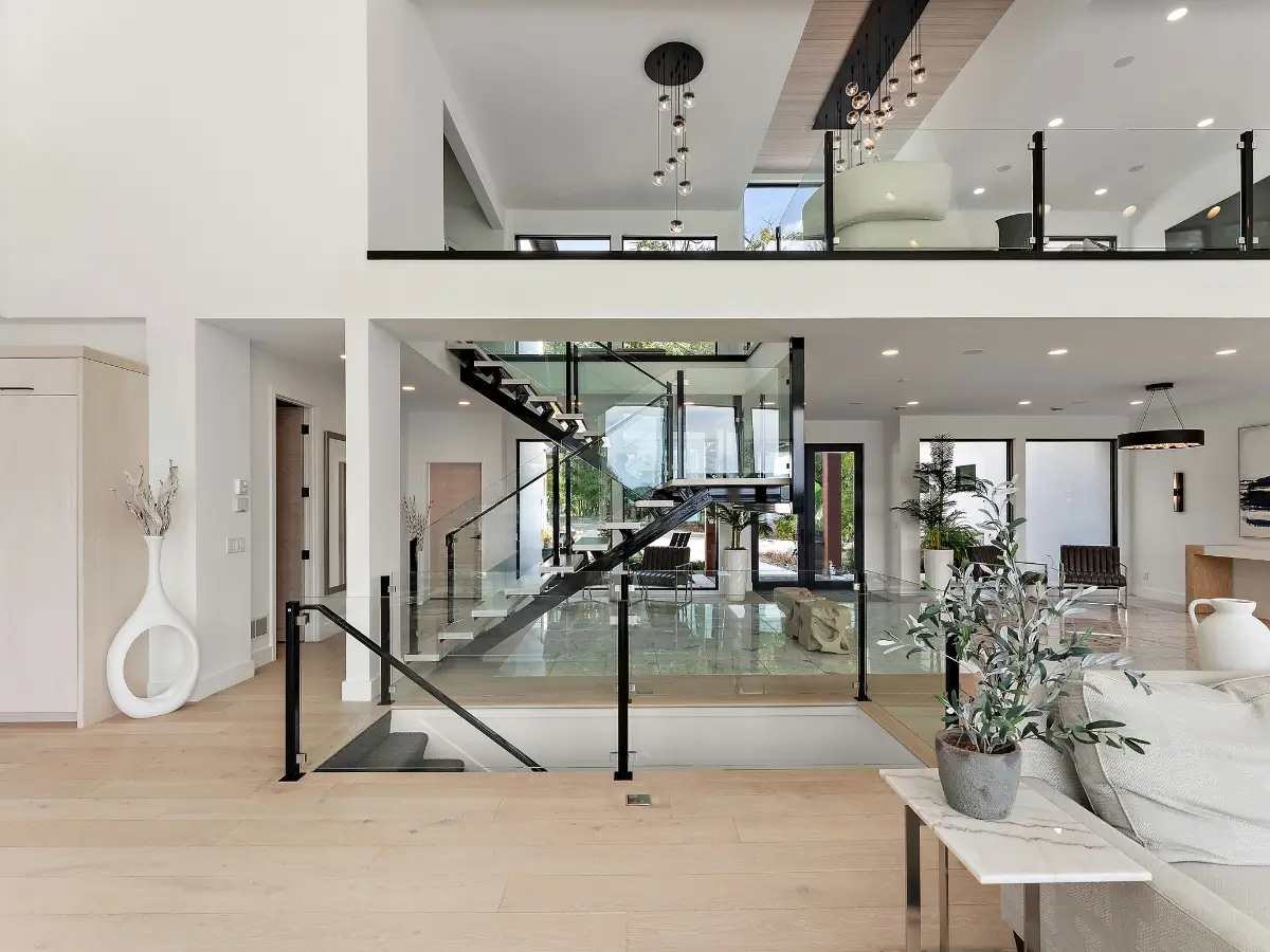
✔ Larger residential and architecturally distinctive property photography can emphasize interior design, exterior architecture, Lake Superior or harbor views where present, larger lots and the Northern Wisconsin setting without applying industrial storytelling to unrelated residential listings.
✔ FPV walkthroughs can connect entrances, offices, warehouse areas, commercial spaces and other interior zones, helping remote viewers understand physical movement through larger or more complex buildings.
✔ Matterport 3D Tours and 2D & 3D Floor Plans can help commercial buyers, tenants, investors and facility teams remotely evaluate interior configuration, spatial relationships and building functionality before traveling to Superior.
✔ Existing-site documentation can create organized visual records of buildings, exterior conditions, site improvements and surrounding areas for owners, developers, construction teams and other project stakeholders.
✔ 30–240 second cinematic property films can connect building architecture, interiors, site circulation, aerial perspectives, infrastructure and relevant harbor or Lake Superior context into one cohesive Superior property story.
✔ 15–60 second vertical reels can transform architecture, industrial scale, aerial site perspectives and distinctive property features into reusable assets for commercial listing launches, brokerage marketing, development promotion and social platforms.
✔ Twilight and exterior architectural photography where appropriate can showcase commercial buildings, multifamily properties and architecturally distinctive assets when illuminated façades, signage and exterior design contribute to the marketing presentation.
…………………………………………………………………
 Awarded by Quality Business Awards #1 BEST RATED 2025 – Photographer in South St. Paul, MN
Featured by Peerspace Among the Best 9 Photographers in Minneapolis
✔ Fully Insured FAA Part 107 Certified Drone Pilot
✔ One Appointment for Interior, Exterior, Architectural, Aerial & Site-Context Coverage Where Appropriate
✔ No Image Limits — We Deliver Every Professionally Edited Photo Needed to Showcase the Complete Property
✔ Commercial, Industrial, Warehouse, Multifamily, Investment & Residential Property Coverage
✔ Duluth-Superior Harbor & Lake Superior Context Where Relevant
✔ Site-Scale Aerial Mapping & Property Visualization Where Appropriate
✔ Loading, Access, Parking & Circulation-Area Photography
✔ Industrial Infrastructure & Transportation-Corridor Context Where Relevant
✔ Architectural, Existing-Site & Facility Documentation Capabilities
✔ FPV Commercial & Industrial Property Walkthrough Capabilities
✔ Matterport 3D Tours & Floor Plan Documentation
✔ 24–48 Hour Photography Turnaround Where Applicable
✔ Serving Superior, Duluth-Superior, Northern Wisconsin, Minnesota, the Midwest & Beyond
…………………………………………………………………
A Superior property should communicate more than building appearance, interior square footage and basic location. UAV Vision Media creates property-specific visual marketing that helps commercial brokers, property owners, developers, investors, facility teams and residential real estate professionals show how architecture, building scale, site access, loading and circulation areas, Lake Superior geography, harbor relationships and surrounding transportation infrastructure contribute to the complete asset.
Professional architectural photography, FAA Part 107 aerial imagery where appropriate, site-scale visualization, FPV walkthroughs, Matterport 3D Tours, floor plans, cinematic films and infrastructure-context storytelling can then be selected according to the individual property. The resulting presentation helps decision-makers understand whether they are evaluating a Superior warehouse, industrial facility, harbor-area asset, commercial building, multifamily property, investment opportunity or architecturally distinctive residence while preserving the characteristic.


